1 hour ago
1
1 hour ago
1

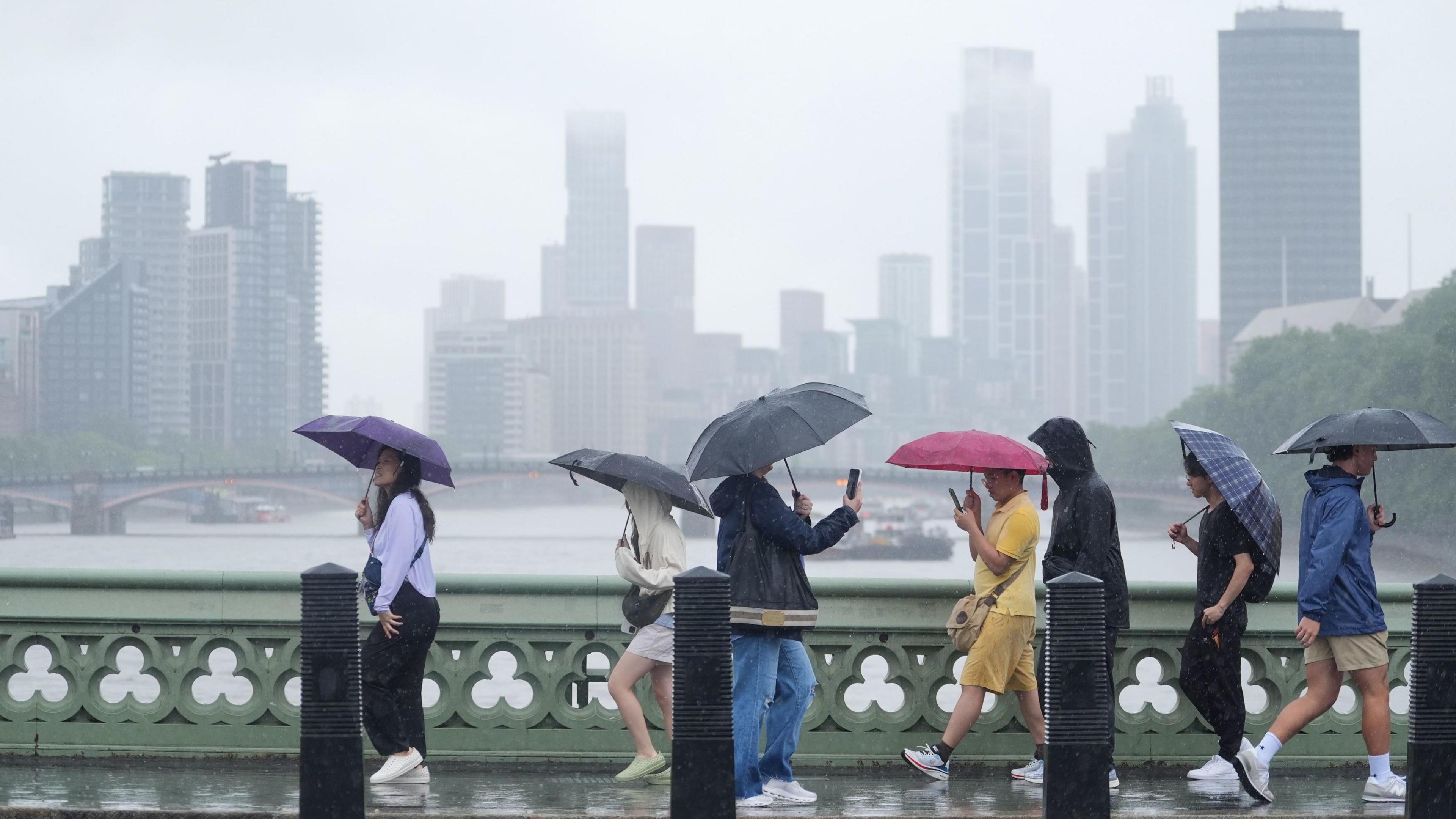 Image source, PA Media
ByJennifer Bartram
BBC Weather
Wet weather is forecast for parts of the UK following a summer of record-breaking heatwaves and widespread drought.
Although heavy showers are expected for many, the places across England and Wales most in need of significant rain may not see much of it in the coming days.
Most of the showers will fall across parts of north-west England, Northern Ireland and southern Scotland, with some parts of south-east England staying dry.
Where the heaviest showers do fall, there is a risk of hail, lightning and the potential for flash flooding.
Tuesday will start wet across many northern and central parts of the UK. Scotland and Northern Ireland will stay showery through much of the day, with some longer spells of rain across northeast Scotland and the Northern Isles.
Further south, a cold front will bring cloud and some spots of light rain to parts of southern England and Wales early on, though some areas may stay entirely dry.
By Wednesday, an area of low pressure will bring sunny spells and frequent showers across north-west England, Northern Ireland and southern Scotland.
Some of these showers will become heavy and thundery but south-east England will stay largely dry.
On Thursday, the showers will become more widespread as low pressure drifts southwards across the UK.
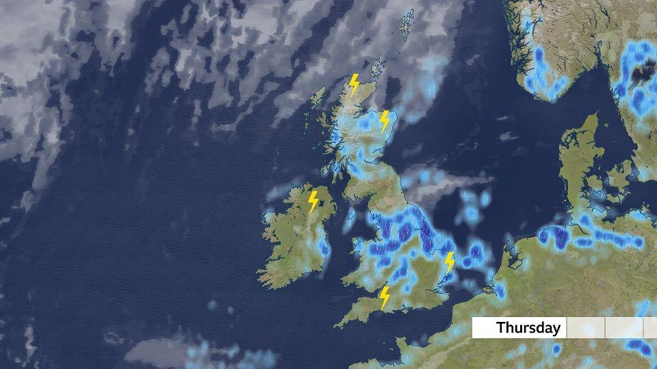 Image source, BBC Weather
Widespread showers and thunderstorms will affect some areas of the UK that have not seen significant rain for a period of days with the potential to cause flash flooding
Thunderstorms are expected to develop more widely, though some of the areas which need the rain most may avoid them altogether.
Some of the showers on Thursday will be very heavy and slow-moving, with the risk of hail, lightning and localised flooding.
Why do summer storms lead to flash flooding?
Drought officials have declared 71.3% of England is now in drought, after the nation recorded its driest July since records began in 1836. All of Wales is also in drought.
During periods of drought, ground can become very hard and compacted, which can make it more water repellent and increase run off.
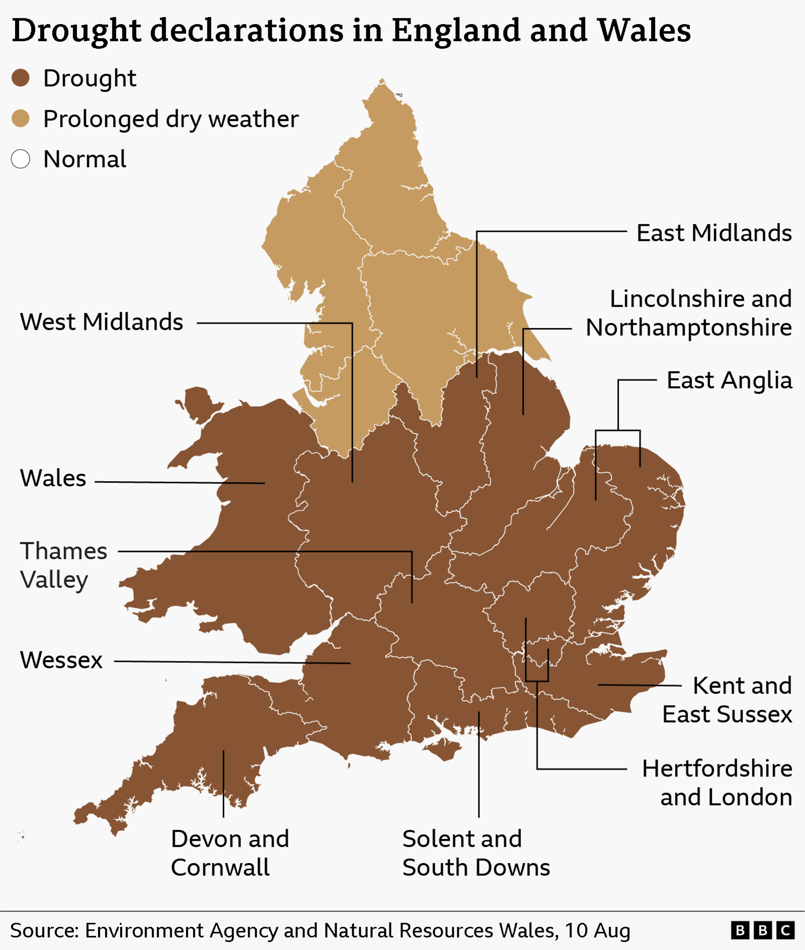
England is currently experiencing a flash drought according to the National Drought Group, brought about by a combination of very low rainfall and higher temperatures
Downpours from intense summer thunderstorms can fall faster than the water can soak into the ground and, instead, it rushes over the surface, leading to flash flooding.
Heavy summer thunderstorms don't mean an end to a drought, as rivers, groundwater levels and reservoirs can still be depleted for months.
As well as turning more unsettled in the coming days, the area of low pressure which is bringing the showers will also shepherd in some much cooler air from the Arctic.
Temperatures for most will drop below average for the first time in weeks.
Scotland and Northern Ireland can expect highs of 13-18C.
England and Wales can expect temperatures of 18-22C by Thursday, a stark difference to the same time last week but much more in line with average temperatures for this time of year.
Will there be a September heatwave?
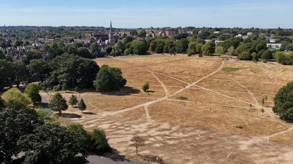 Image source, Reuters
Cooler days and nights are expected for the rest of meteorological summer but September could see temperatures rise again
Forecast models suggest we will not see another period of intense heat in August but there are some early indications that heat could build again in September.
The Met Office notes in its most recent long range forecast that the start of meteorological autumn could see the chance of hot spells or heatwaves developing - especially in the south.
But as with all long range forecasts, there is a lot of uncertainty at this stage.
Keep up to date with the latest in our Monthly Outlook.