

A recent study linked to a powerful earthquake near Russia’s Kamchatka Peninsula has offered a closer look at how tsunamis begin beneath the ocean surface. Using data from the SWOT (satellite) mission, researchers were able to detect subtle wave patterns forming close to the earthquake source.
These signals carry clues about how the seafloor shifted during the rupture. The findings, published in Science, suggest that space-based observations might fill gaps left by traditional monitoring systems. Experts say this could reshape how tsunami risks are understood. It also hints that some important seismic processes near deep-ocean trenches have been under-observed for years.
SWOT detection of the 2025 Kamchatka Earthquake and its tsunami impact
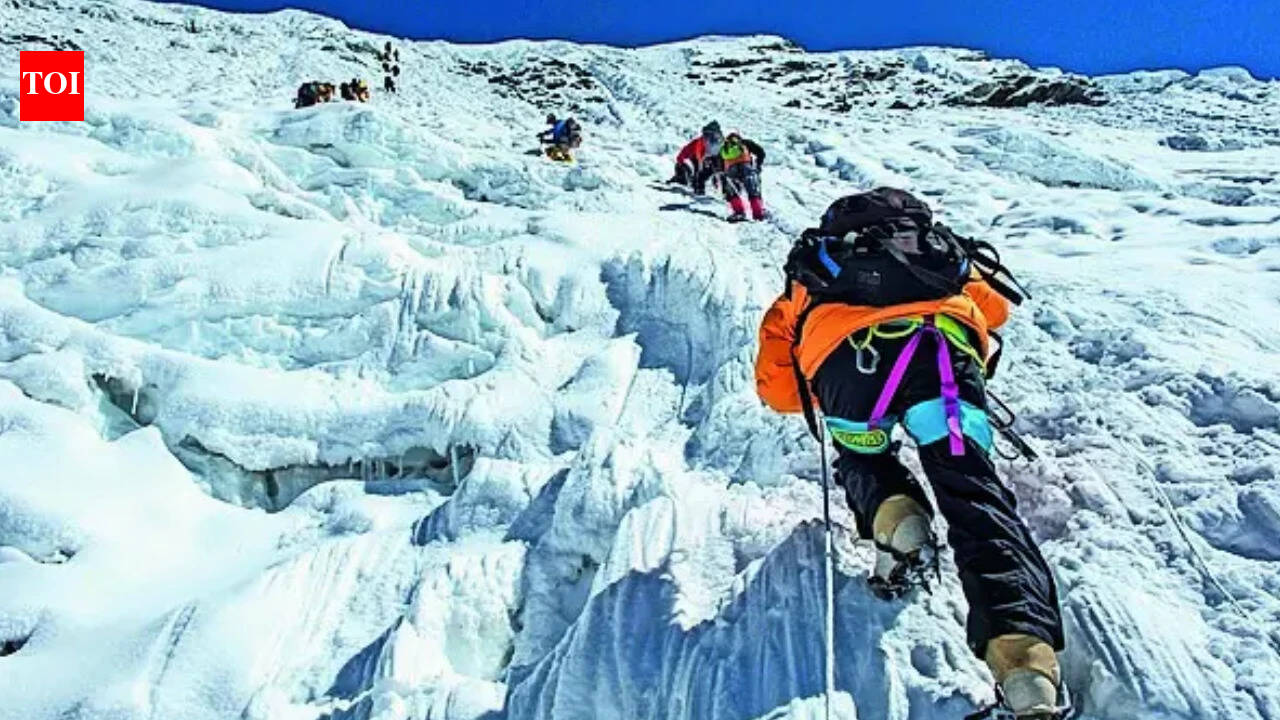
As reported by the study published in Science titled, SWOT detects dispersive tsunami tied to a near-trench source in the 2025 Kamchatka earthquake’, the event in question was a magnitude 8.8 earthquake that struck near the Kamchatka Peninsula on 29 July 2025.
It generated a tsunami that travelled across the Pacific Ocean.What stands out is not just the strength of the quake, but the way scientists were able to observe the aftermath. Traditional instruments recorded the main tsunami wave, yet finer details near the source remained unclear. That gap is where satellite data started to matter.
What SWOT managed to capture
As reported, roughly 70 minutes after the quake, SWOT passed near the affected region and recorded the sea surface in two dimensions.
Its radar system measures height differences down to centimetres.The satellite detected not only the leading tsunami wave but also a sequence of trailing short-wavelength waves. These are often described as dispersive waves. Researchers from institutions such as San Diego State University and Scripps Institution of Oceanography worked alongside teams from DTU Space and the Pontificia Universidad Católica de Valparaíso to analyse the data.
Their combined effort helped reconstruct the wave field in detail.
Understanding near-trench slip in subduction earthquakes
Earthquakes that occur near subduction trenches behave differently from those further inland. In these regions, one tectonic plate slides beneath another. A slip near the trench can displace the seafloor suddenly.This near-trench slip was detected indirectly through the satellite’s observations. The dispersive waves pointed toward rupture occurring at shallow depths, reportedly less than 10 kilometres beneath the seafloor, according to a study published in Science.
Such areas are difficult to monitor using land-based seismic networks. Instruments are simply too far away or spaced too widely across the ocean.
Limits of traditional tsunami sensors
Systems like DART buoys still play an important role. They measure pressure changes in deep water and can track the tsunami wave height.In the Kamchatka event, several of these sensors recorded the leading tsunami wave. According to Phys.org, one nearby buoy measured a crest-to-trough height of around 1.32 metres.
Yet they struggled to capture the finer wave structure. Shorter wavelength signals tend to weaken at depth. Also, the spacing between sensors leaves large gaps in coverage. SWOT’s wide-swath scanning allowed scientists to see patterns that would otherwise remain hidden.
What the wave patterns reveal
The trailing wave train observed by SWOT carries important clues. Experts say these dispersive waves can reflect how the fault slipped along the trench.In this case, the signals suggested rupture across a specific section of the subduction zone, roughly between 49.5°N and 52.5°N along strike. Names such as Ignacio Sepúlveda and Alice Gabriel have been associated with interpreting these results. Their comments indicate that these waveforms help refine models of tsunami generation.
Why this matters for hazard planning
Understanding how a tsunami forms near its source is key to improving risk models.
The new satellite-based observations add a layer of detail that was missing before.With clearer data, simulations can better reproduce real-world wave behaviour. That might lead to improved forecasting tools and more reliable warning systems. Bjarke Nilsson, who contributed to data processing efforts, has pointed out that integrating satellite inputs into modelling frameworks could support future hazard assessments.