38 minutes ago
2
38 minutes ago
2

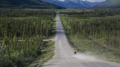
Dalton Highway south of the Continental Divide in the summer. Image Credit: Bureau of Land Management
The Dalton Highway cuts through some of the most remote country in the United States, running 414 miles from Livengood in northern Alaska to Deadhorse near the Arctic Ocean. Built to support construction of the Trans-Alaska Pipeline, the road remains very different from an ordinary American highway.
Its most striking section begins around Coldfoot and continues for roughly 240 miles to Deadhorse, with no petrol stations, restaurants, hotels or other regular services along the way. For anyone making the journey, that means every basic need has to be considered before leaving the last serviced stop. The Bureau of Land Management(BLM) describes the highway as narrow, rough and mostly gravel, with the extraordinary isolation of the northern section.
The University of Alaska preserves first-hand stories from people who helped build and travel this remarkable road.
What makes driving on Dalton Highway extremely difficult
The road itself is part of the challenge. According to the BLM, the Dalton is narrow, rough, steep and mostly gravel. Drivers can encounter dust, slippery mud and sudden potholes, while heavy lorries use the route to carry supplies towards the North Slope. The combination of large trucks and a rough surface means that a journey can feel very different from driving on a conventional paved motorway.
AlaskaOrg reports that trucks can throw rocks and gravel towards following vehicles, while some parts of the road can become steep, slick or muddy.
Weather adds another layer of uncertainty. The BLM warns that snow and ice can occur north of Coldfoot during any month of the year. Cell phone coverage is also extremely limited, making it difficult for travellers to rely on a mobile phone if something goes wrong.
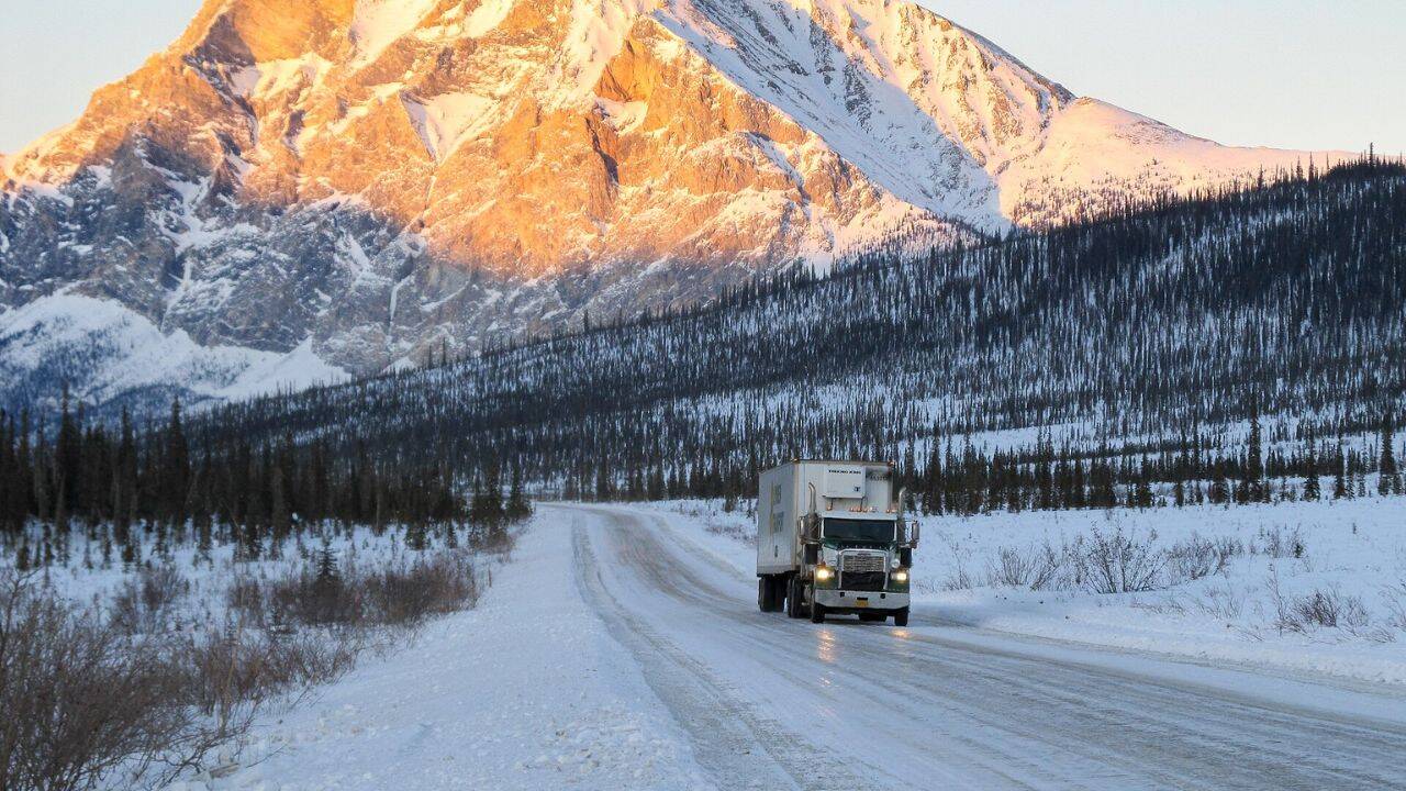
Sukakpak Mountain is a landmark at MP 203 Dalton Highway. Image Credit: Bureau of Land Management
One of America’s remotest 240-mile service-free road stretch
The key point for travellers is Coldfoot, located around mile 175 of the highway.
From there, the road continues north towards Deadhorse for about 240 miles without the normal services that motorists usually take for granted. AlaskaOrg reports that there are no petrol stations, restaurants, rest stops or hotels along the entire stretch. Coldfoot itself offers a final opportunity to stop, eat and stay overnight before heading further north.
That isolation changes the nature of the journey. A driver cannot simply continue until the next town if fuel runs low, a tyre fails or food runs out.
The road demands planning before the vehicle heads into the emptiness. The BLM warns that there are no medical facilities or grocery shops along the highway and that mobile phone service is extremely limited.
What can travellers actually see along the route
Despite its difficulties, the Dalton Highway is not simply a long stretch of empty road. It passes through striking landscapes and several important points of interest. The BLM says the route crosses the Yukon River and Arctic Circle before climbing through the Brooks Range and continuing across the North Slope towards the Arctic Ocean.
AlaskaOrg highlights the Yukon River Bridge, Finger Mountain, the Arctic Circle Wayside and the Brooks Range among the notable places along the route.
At the Arctic Circle, travellers cross the line at which the sun does not set during the summer solstice and does not rise during the winter solstice. The landscape changes dramatically as the road heads north. Forested country gives way to open tundra and increasingly stark Arctic scenery.
For travellers who are prepared for the isolation, that remoteness is part of the attraction.
Need for building the Dalton Highway
The Dalton Highway began as an industrial road rather than a tourist route. According to the BLM, it was built during the 1970s to support construction of the Trans-Alaska Pipeline, providing a route through the remote interior towards the North Slope oil fields. AlaskaOrg explains that the highway was built in 1974 and was originally known as the Haul Road.
It was created to provide access to Prudhoe Bay and support the enormous effort involved in building the pipeline.
The road was completed in only five months, an indication of the urgency surrounding the project. For years, the road remained primarily an industrial route. It was eventually opened to the public in stages, with the entire highway becoming publicly accessible in 1994.
How to prepare for a journey with so few services
Preparation is essential. The BLM advises drivers to check tyres and vehicle fluids, carry extra motor oil and spare tyres, and consider using a CB radio.
Food, water and fuel also need careful planning because there is no convenient service stop once the journey north of Coldfoot begins. The lack of medical facilities and unreliable mobile coverage means that even a relatively ordinary vehicle problem can become much more serious.
The BLM also asks visitors to take their rubbish with them. Around 20 tons of litter are hauled from the Dalton Highway to Fairbanks each year, showing that even a place that feels almost untouched still experiences the effects of human travel. The Dalton Highway therefore offers a genuine long-distance road journey where modern conveniences largely disappear. Its 240-mile service-free northern section is challenging, but it also provides a rare chance to experience Alaska's vast landscapes with very little between the traveler and the wilderness.