4 weeks ago
30
4 weeks ago
30

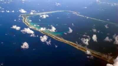
Image Credit: By Christopher Michel from San Francisco, USA - JJ7V2741.jpg, CC BY 2.0, https://commons.wikimedia.org/w/index.php?curid=34439858
Majuro Atoll, the capital of the Republic of the Marshall Islands, is often described as a narrow coral ribbon situated between the vast Pacific Ocean and a serene lagoon. To a casual observer, it is a tropical heaven of stunning beauty with deep cultural roots.
However, this thin strip of land is facing a serious crisis that threatens its very survival.As one of the lowest-lying nations on Earth, with an average elevation of just two metres, the Marshall Islands are at the frontline of global climate change. Recent research from the ‘World Bank and Lund University’ has highlighted the growing dangers of rising sea levels and coastal erosion. These studies don’t just provide data; they visualise a future where the sea taking over the land is not a rare possibility but a near reality for thousands of people.
Why is the geography of Majuro so vulnerable to the ocean
To understand the threat, we must look at the unique shape of the land. Majuro consists of 64 tiny islands made of coral reefs that encircle a massive lagoon. It is a strip of land so narrow that you can see the ocean on one side and the lagoon on the other just by turning your head. Because the average height of the land is only two metres above sea level, there is no ‘high ground’ to escape when the sea tides rise.In Majuro, this small tidal rise doesn't just wet your toes, it has the ability to submerge entire neighbourhoods.
University researchers point out that the islands are very young, only about 3,000-4,000 years old, which makes them naturally fragile to get reshaped by the sea.
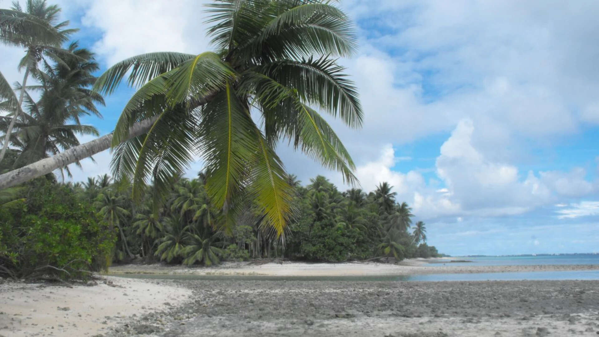
Image Credit: By Cliff Hansen
What are the specific threats to Majuro’s infrastructure
The recent World Bank study has provided a warning about what this means for the people living there. Their models suggest that 40% of all buildings in Majuro could be endangered by rising sea levels. Even more shocking is that 96% of the city is at risk of frequent flooding caused by climate change.Schools, hospitals, and government offices in Majuro are all situated on this low-lying land, meaning the very heart of the nation’s infrastructure is in the radar of water. This is not just about losing property; it’s about losing the essential services that keep a society running.
Is the wind making the waves more aggressive for the island capital
The ocean is not just rising, it is also becoming more powerful. University research highlights a direct link between wind speed and the speed at which sand gets eroded from the coast.
Their calculations show that a 10% increase in wind speed can lead to a 25% increase in sediment transport. This means that if storms become more intense, the natural sandy beaches get washed away much faster.When beaches disappear, the land behind them becomes exposed to the full force of the waves. In the eastern part of Majuro, waves are already washing over man-made barriers. One such event in 2008 saw waves washing much of the eastern side during a high tide.
Can human interference speed up the damage to Majuro
Sadly, it is not just nature at work. University research identifies several man-made causes of erosion that have disturbed the island’s natural balance. For years, residents have built sea walls to protect their individual homes. However, these walls can actually deflect the sea waves onto neighbouring unprotected areas, making the erosion there even worse.Furthermore, ‘dredging’(the process of scooping up sand and coral from the lagoon or ocean floor for construction) has removed vital natural protection.
On the western part of the atoll, where sandy beaches were once common, researchers have noticed a drastic increase in erosion due to these activities. The community needs materials to build, but the very act of taking those materials might be making their islands disappear faster.
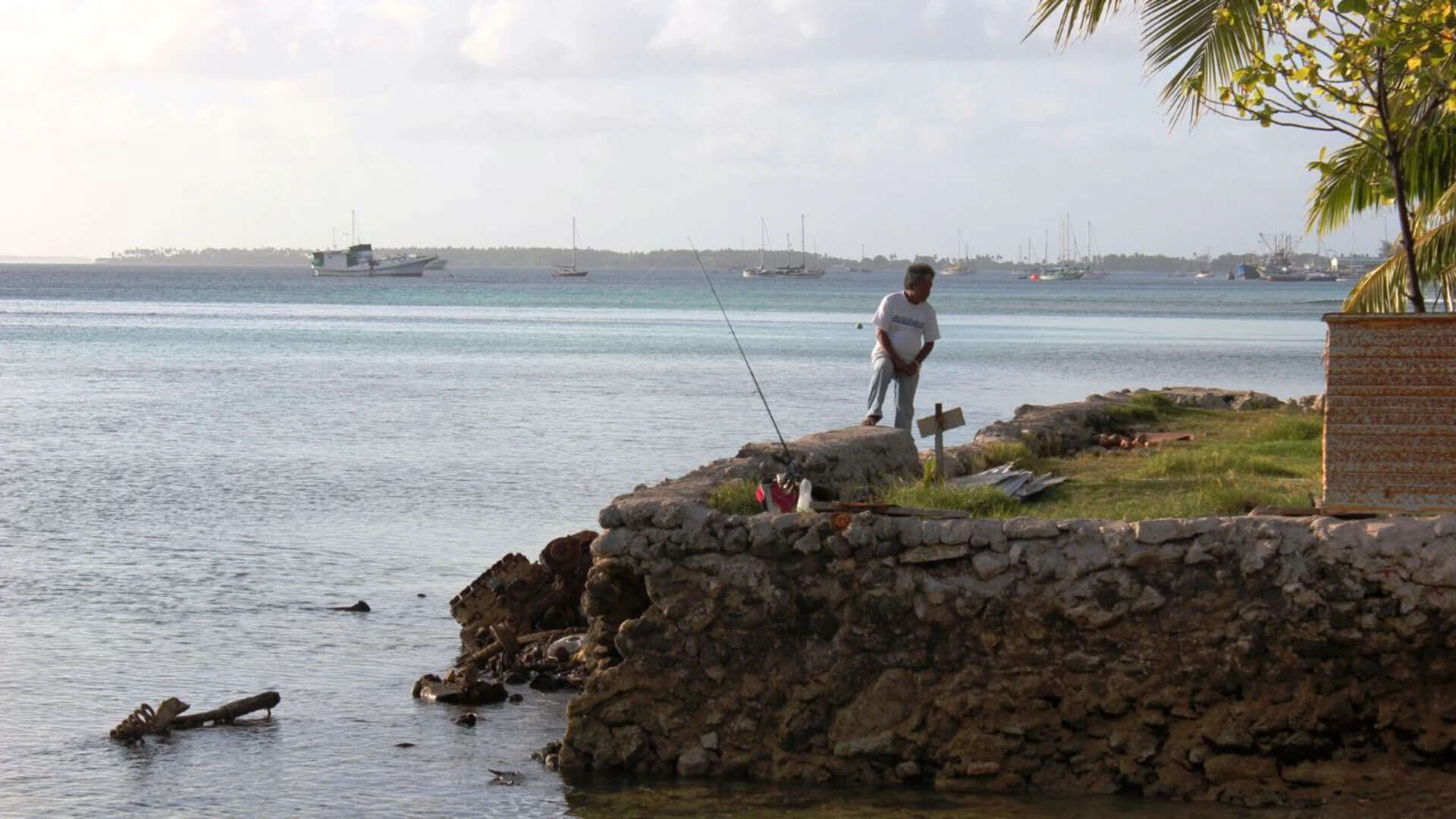
Image Caption: By Erin Magee/DFAT
What choices remain for the Marshallese people
Policy-makers are now facing a series of expensive choices. The World Bank suggests several ‘adaptation options’ to help the nation survive.
- Building more robust sea walls.
- Planting vegetation to hold the sand in place.
- Land raising and reclamation, which involves physically elevating the ground or creating new land.
However, the World Bank warns that under extreme circumstances, these measures might not be enough, and migration may become the last resort. This creates a cultural challenge. The Marshallese have a deep seafaring and weaving heritage that is tied to their specific islands. If they are forced to leave, they risk losing a ‘way of life that has endured for thousands of years.’ The people of the Marshall Islands are working hard to involve the local community in ‘active participation with a united spirit’ to protect their homes.