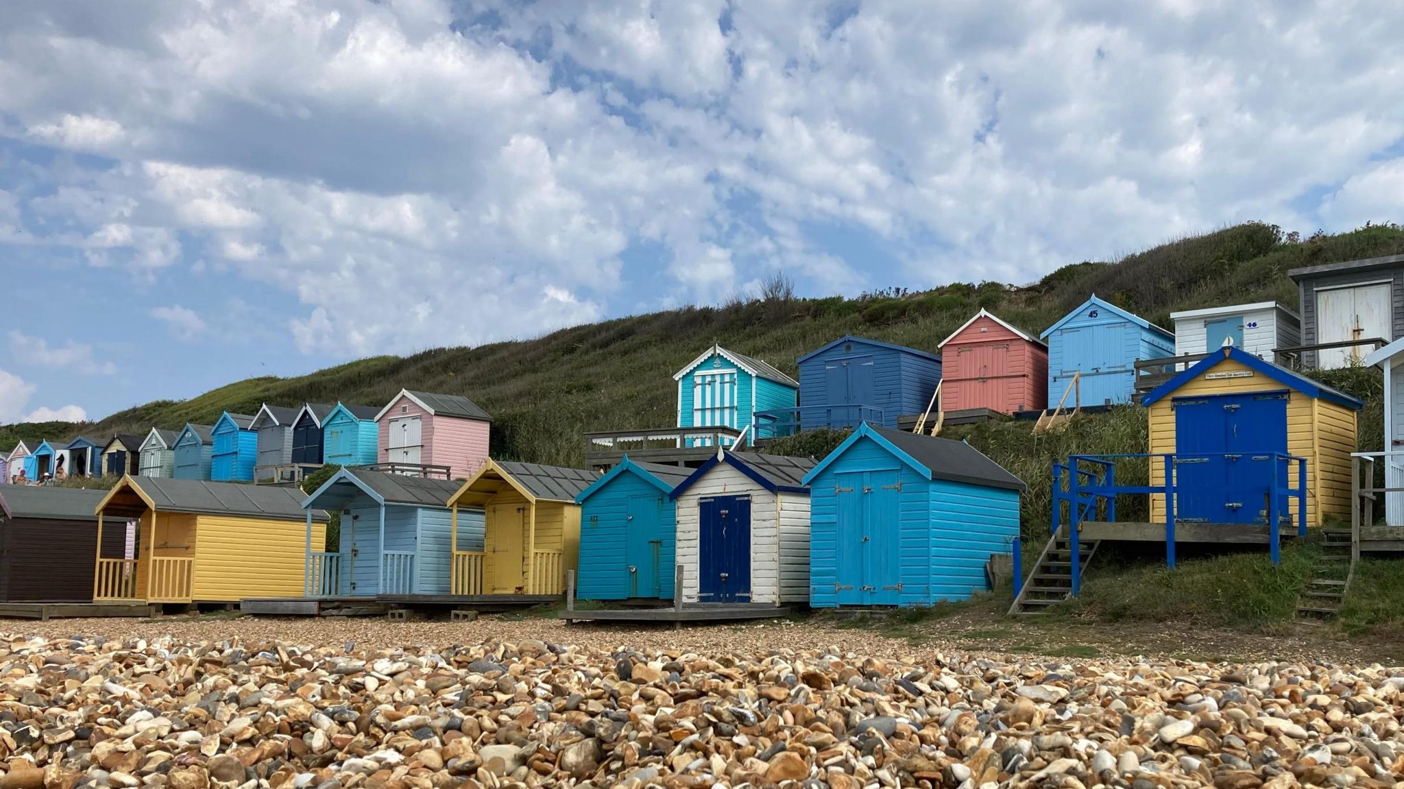
 Image source, BBC Weather Watcher / plantmanjames
Sarah Keith-Lucas
Lead Weather Presenter
The UK has seen its coolest summer for nine years, according to latest statistics from the Met Office.
It has also been a season of contrasts, with the north-west of the UK cool and wet, while the south and east have had a more typical UK summer.
The hottest day of the summer was 12 August, when temperatures in Cambridge reached 34.8C. Although we did see some heatwaves recorded in the south, any periods of heat have been fairly short-lived.
This year bucks the trend of the warm summers we have seen in recent years. The last time the UK had a cooler than average summer was back in 2015.
Image source, Met Office
Image caption,The coolest and wettest weather this summer has been in the north-west of the UK
Temperatures on the low side
Summer - in weather and climate terms - incorporates June, July and August.
The three key indicators for assessing a season's weather are temperature, rainfall and sunshine amounts.
The summer statistics from the Met Office show that overall, summer was cooler than average. The mean daily temperature (the average across 24 hours) across the UK was 14.37C, which is 0.22C below average. The daytime maximum temperatures were more notably cool than the night-time minimums, with cloudy skies often keeping overnight temperatures up.
The long-term trend for higher temperatures is continuing due to climate change, although individual years will see ups and downs in temperature.
Five of the top 10 warmest summers on record in the UK have all occurred since 2000.
Image source, BBC Weather Watcher / Dave B
Image caption,August was a particularly wet month in north-west England and western Scotland
Average rainfall
How wet it has felt for you depends very much on where you are, but looking at the summer as a whole, rainfall comes in at 241.3mm, which is just 5% below average.
For Achnagart in Highland it was the wettest summer on record with more than double the monthly average falling during August. It was particularly wet elsewhere in western Scotland and north-west England.
In contrast, much of Wales and the rest of England had a notably dry summer, with parts of the Midlands receiving only a third of their expected rainfall.
Image source, BBC Weather Watcher / Walking Tractor
Image caption,Eastern England saw plenty of sunshine during the second half of August
Sunshine in short supply
If you feel the blue sky days have been lacking this summer you would be right if you have been anywhere other than central-southern England, eastern England and parts of eastern Scotland.
These areas have seen up to 25% more sunshine than expected, whereas for the rest of us, it has been decidedly dull.
Things did pick up in the second half of the summer when the jet stream shifted north, bringing drier and warmer weather for many of us.
What about autumn?
September last year brought a record-breaking seven consecutive days that reached 30C or more but it is unlikely we will see such as prolonged spell of heat this year.
Although September started with 30C at Wiggonholt in West Sussex, there have been some thundery downpours too, and on Monday a yellow warning was issued for thunderstorms across Wales, northern England and eastern Scotland.
Over the next few days, high pressure is never far away, so although things will turn a little fresher, with a few showers, there will still be some drier and warmer weather to be enjoyed too.
Keep up with the latest long range forecast in our monthly outlook.

 6 months ago
14


